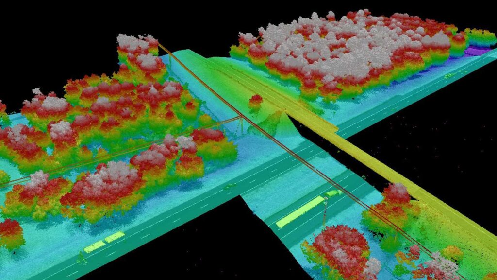
This is Phase 2A of the North Florida Resiliency Connection (NFRC), a 176-mile, 161kV transmission line. The client needed aerial LiDAR and imagery data to support the design of this 48-mile phase of the new transmission line.
Through an aerial survey, Pickett provided the data needed to support the design of the new transmission line for Phase 2A.
Pickett utilized its fixed wing aircraft, Optech Galaxy PRIME LiDAR sensor, and Phase One iXU-RS 1000 digital camera to capture airborne LiDAR and imagery along the proposed Phase 2A corridor, totaling approximately 48 miles. After post-processing, data calibration, and accuracy verification, Pickett feature-coded the data to client standards and created an ortho-mosaic image. All data was delivered in a PLS-CADD model for use by the engineering team.

