Photogrammetry collects measurements and data about an object by scrutinizing the change in position from two different images. It is sometimes referred to as stereo-vision. It uses features like viewpoint, very specialized processing software and photo analysis.
Photogrammetry can happen on the ground, (terrestrial) or from the air (aerial). In a previous article, aerial photography was explained. This article will cover aerial photogrammetry.
How it Works
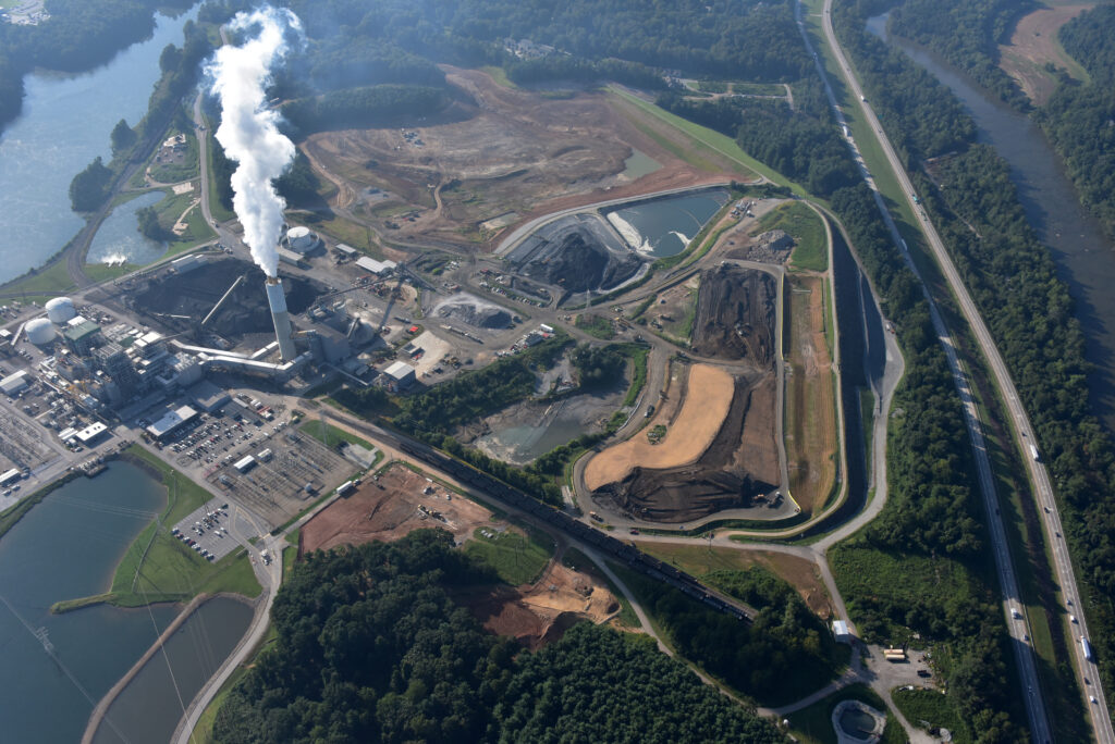
Imagery is acquired from a camera, mounted on an aircraft, and pointed toward the ground with a vertical or near-vertical axis. As the aircraft follows its flight path, the camera takes multiple overlapping frames, which are then processed in by photogrammetric software. A few decades ago, the instrument used to conduct measurements was analog, It required extensive abilities in the setting up of the aerial photos to mimic the scene from the perspective of the view from the aircraft. Technology allowed this process to move into an analytical environment, and then to a fully digital arena.
Triangulation
The whole process of photogrammetry can be complex, but it all comes down to the concept of triangulation. Triangulation involves taking pictures from a minimum of two different locations. These pictures create lines of sight that lead from each camera to specific points on the object being photographed. The intersection of these lines plays into mathematical calculations that help produce 3D coordinates of the specified points.
Triangulation is used in a wide variety of fields, but it is commonly associated with land surveying. Surveyors use ground-based instruments and triangulation to gather the location of a point with the help of angle measurements. This process is actually similar to the way our eyes work and create depth. Depth perception occurs when we see an object from slightly different angles that come from each one of our eyes. Our brains process the two images and make them into a single image that we can comprehend in a process called stereopsis.
Photogrammetry Uses
Some of the products that come from the photogrammetric process include Orthomosaics, Digital Surface Models (DSM) and Digital Terrain Models (DTM). An Orthomosaic is essentially an aerial view of a terrain that has been adjusted for distortion and from which accurate measurements can be made. DSM’s and DTM’s represent surface elevations. DSM’s include buildings and trees, while the DTM gets rid of all of these features, showing the height of the bare earth.
The most common use for photogrammetry is creating scaled maps from aerial imagery. It is cost-effective and accurate, allowing end users to make clear, informed decisions about their projects without spending much more time on the ground.